Drone & Thermal Roof Inspection for Large Roofs in Kansas City, MO
Drone and infrared roof inspection in Kansas City, MO. We map trapped moisture across large low-slope roofs without foot traffic, document hail and wind damage for claims, and fly under FAA Part 107.
The fulfillment buildings along the I-70 and I-435 freight runs, the rail-served warehouses near the old Kansas City Southern yards, and the sprawling distribution roofs out toward the Hunt Midwest underground complex and Riverside all run into the same wall: they are too big to walk well and too expensive to guess about. We fly those roofs with a high-resolution camera and an infrared sensor, build a complete record of every drain, seam, and curb, and pull wet insulation out of hiding under a membrane that still looks intact, all without putting a crew on a deck whose condition nobody has verified.
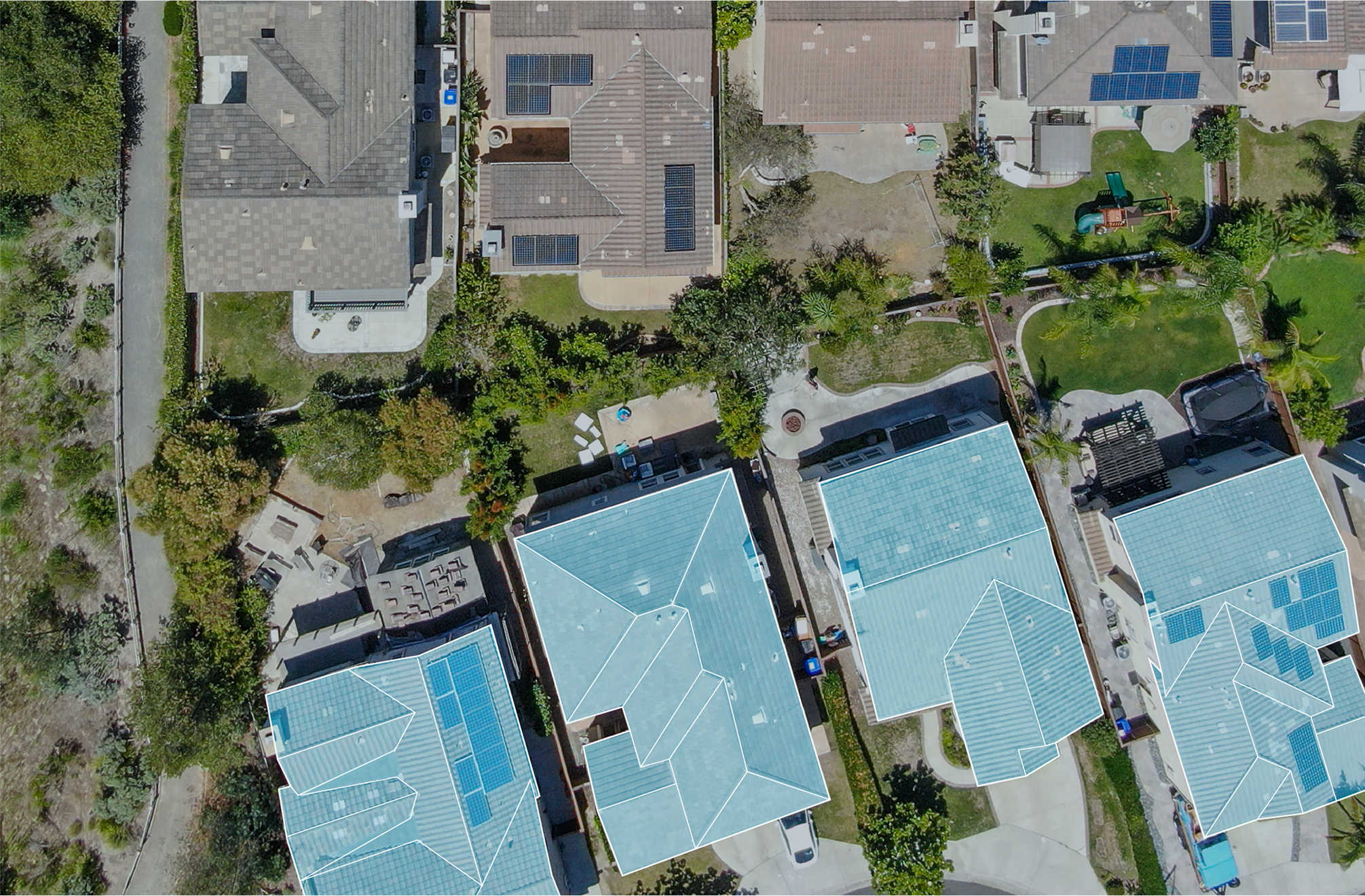
A 200,000-square-foot roof, covered in an hour instead of a day
Walking a distribution roof that size takes most of a working day, and even a careful crew lets things slip past, the back edge of a ponding area tucked behind a rooftop unit, a hairline seam split two hundred feet from the hatch, a drain quietly backing up. A drone runs that same roof at a fixed altitude on a planned grid and captures the entire surface in a fraction of the time. The result is a complete, time-stamped visual record of the drains, the penetration flashings, the perimeter edge metal, the equipment curbs, and the open field of the membrane, gathered without adding a single footstep to a roof that may already be fragile.
The infrared pass is the part that earns its keep
The most valuable thing an aerial survey produces is not the photo set, it is the moisture map, and that comes off the thermal sensor. Insulation that has taken on water stores the day's solar heat and gives it back slowly. After the sun goes down and the roof radiates its heat toward the sky, the wet zones stay warmer than the dry insulation around them and light up in the infrared image, even where the surface above looks completely normal in daylight. We fly the thermal pass inside that cool-down window, when the contrast between wet and dry is at its sharpest, and the map that comes back shows exactly where moisture is sitting and how far it has tracked through the assembly.
That single finding reframes the whole decision on a roof. A membrane with two isolated wet pockets is a repair. The same membrane with moisture under a third of its area is a replacement, and the thermal map is what tells you which one you are actually facing before you commit to a budget. We back up the infrared with a handful of core cuts at the flagged spots so the moisture map is verified on the ground, not just read off a screen.
Storm documentation an adjuster will actually accept
Kansas City collects more than its share of hail and severe straight-line wind every spring and summer, and after a storm the questions never change: how much of this is real, and where. An aerial survey answers both with location-tagged imagery, hail-strike density mapped across the field, lifted or displaced membrane and edge metal from wind, and any damaged rooftop equipment, all packaged the way commercial property adjusters expect to review it. A remote adjuster can work through the file without ever climbing the building, which moves the claim along. We turn the storm package around fast so it is in hand while the loss is fresh, and on a contested claim we can stand behind it with a written assessment tied directly to the imagery.
Reroof specs built on what is actually up there
When a roof is headed for replacement or recover, the same flight doubles as the pre-construction measurement. We confirm the true roof area, locate and count every penetration and curb, and document existing conditions before the specification is ever written. Drawings grounded in what the drone found, instead of assumptions from a quick walkover, head off the requests for information and the mid-project change orders that stack up when the field doesn't match the plan.
Flying it legally, and keeping people off the roof
Commercial drone work is regulated, and we treat it that way. Every flight runs under FAA Part 107 with a certificated remote pilot. Parts of the metro sit inside controlled airspace tied to Kansas City International and the downtown Charles B. Wheeler airport, which can require airspace authorization before we launch, so we check the airspace for each site, secure whatever authorization the location needs, hold visual line of sight, and keep the aircraft clear of anyone on the ground. And because gathering the data never requires a person on the roof, the inspection takes the fall exposure of walking an aging or storm-torn deck off the table entirely.
What a flight puts in your hands
- A full high-resolution photo record of the entire roof, drains, seams, flashings, and curbs included.
- An infrared moisture map showing where wet insulation sits under the membrane and how far it has spread.
- Core-cut verification at the flagged areas so the moisture findings are confirmed on the ground.
- A location-tagged storm-damage package formatted for commercial property claims when you need it.
- Accurate roof area and penetration counts to drive a clean reroof or recover specification.
Drone Roof Inspection Questions
It covers the whole surface systematically at a fixed altitude and produces a complete photo record without the foot traffic that wears on a membrane or the liability of an unknown deck. On a large warehouse or campus roof a walkover eats hours and still misses low spots and far corners, and thermal moisture mapping simply isn't practical on foot over that much area. The drone is what makes the full picture feasible.
It does, when it's flown right. We run the infrared pass after sunset, in the cool-down window when wet insulation, having held the day's heat, reads warmer than the dry board around it and stands out clearly in the image. The map is accurate enough to drive the repair-versus-replace call, and we confirm it with core cuts at the flagged locations.
It's built for exactly that. We deliver location-tagged imagery documenting hail-strike density, wind-displaced membrane and edge metal, and equipment damage, formatted the way commercial property adjusters expect so it can go straight into the file. On a contested loss we add a written assessment tied to the imagery.
We operate under FAA Part 107 with a certificated remote pilot. Parts of the metro fall under controlled airspace tied to KCI and the downtown Wheeler airport, so we check the airspace for your site and obtain any required authorization before flying, hold line of sight, and keep clear of people below.
Large low-slope commercial roofs get the most out of it, distribution and industrial buildings, retail centers, office complexes, and multi-building campuses, where the area is just too big to inspect thoroughly on foot. For any commercial roof past roughly 10,000 square feet that needs a real condition assessment, a flight is the faster and more complete way to get one.
Ready to talk through a roof?
Tell us about the building and the roof problem. We'll document it and put a plan in writing — with an honest repair-vs-replace recommendation and no upsell pressure.
Get a Roof Assessment →